Problem: What effect do changes in the Cryosphere have on the Jet Stream?
An investigation by Uri Cohen and Lucas Moinester in Geology, Meteorology, Oceanography with Mr. M. Fox at the Bronx High School of Science during the Spring of 1997.
HYPOTHESIS: As the polar front retreats north the North Polar Jet will be pulled northward allowing the warmer, southern weather to affect the U.S. more than before. The result will be higher temperatures all over, including New York City.
ABSTRACT:
In order to determine the effect that changes in the cryosphere have on the jet stream, and subsequently on the weather of New York City we will take temperatures from the north pole, extrapolate pressures and wind directions. By determining the changes in the position of the pressure systems that create the winds we see changes in the Polar Front. The Polar Front pulls the North Polar Jet northward. This shift in the North Polar Jet will affect from where our weather and the factors that affect it originate and how they develop. More of our weather will be governed by the warmer air that the North Polar Jet will be drawing our way.
Datasets:
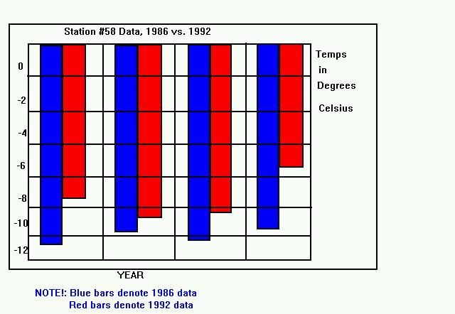
Satellite Point #58 at Corresponding time 1986 vs. 1992
|
DATE/TIME |
TEMP (C) 1986 | TEMP (C) 1992 |
|
January 1, 12:00 A.M. |
-10.3 | -7.3 |
|
January 2, 12:00 A.M. |
-9.8 | -8.9 |
|
January 4, 12:00 A.M. |
-10.2 | -8.5 |
|
January 6, 12:00 A.M. |
-9.6 | -4.9 |
To see a graph, click here!
New York City Maximum temperature 1986 vs. 1992
|
DAY |
MAX TEMP (F) 1986 | MAX TEMP (F) 1992 |
|
January 1 |
40 | 44 |
|
January 2 |
46 | 48 |
|
January 4 |
43 | 46 |
|
January 6 |
37 | 48 |
To see a graph, click here!
Conclusions
To decipher our problem we looked at normal temperatures for the particular season in 1986 and 1992. We compared temperatures at the same geographic point, day and time the two different temperatures. After a number of attempts we did see a general trend of the temperatures in 1992 being a few degrees warmer than in 1986. This clear evidence leads one to a conclusion. The Arctic portion of the cryosphere is receding north towards its center. The winds that support the North Polar Jet will recede with it pull the Polar Front farther north. Therefore the North Polar Jet will tend to have less of an effect, bringing less Arctic air to places such as New York City, which are getting farther away from the Jet as it heads northwards. When comparing data on these days in New York City in the two different years we found, as guessed, that over the six year span there was a consistent upward trend in the temperature.
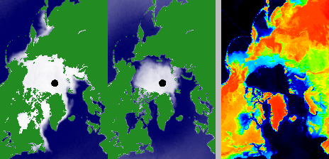
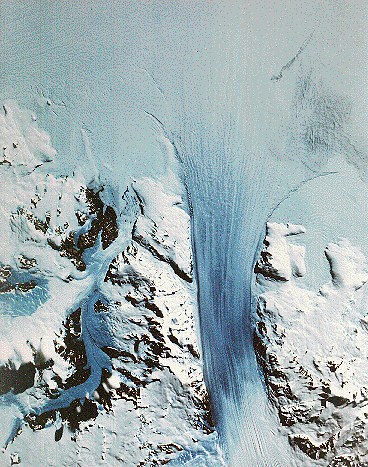
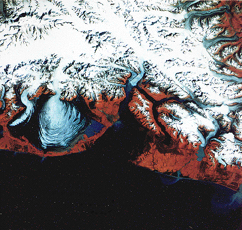
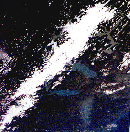
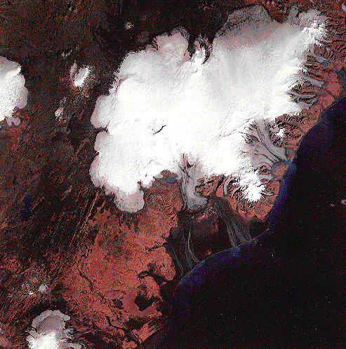
Some Images of Glaciers
Science and Related Links:
 Me
with suggestions or information we might find useful!
Me
with suggestions or information we might find useful!This site was created using ![]() !
!